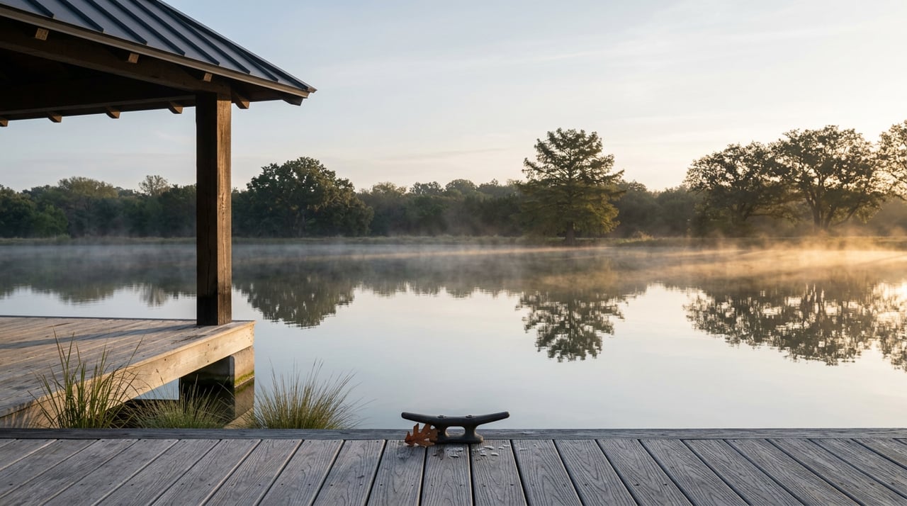
Floating the Colorado River in Columbus, TX: What Sets the Pace
August 13, 2026
August 13, 2026
Saturday morning, North River Bridge, a truck backs down toward the ramp and someone unstraps a kayak they last used at a friend's lake house in June. The plan is simple: put in here, take out at Beason's, be home by lunch. Texas Parks and Wildlife's own page on the Columbus Paddling Trail backs up the plan, sort of. It says the trip takes anywhere from two to five hours.
That range is wide enough to swallow an entire afternoon, and almost nobody asks why it exists before they load the boat. The answer has nothing to do with paddling speed or how many times you stop to look at a heron. It comes down to one number most first-timers never check.
The Columbus Paddling Trail runs 6.5 miles through a horseshoe bend in the Colorado River, right past the edge of downtown. You put in under the North River Bridge, follow signage to the boat ramp, and take out one block from downtown at Beason's Park on Highway 90, also known as Walnut Street, near the East River Bridge. Free parking, restrooms, a pavilion, and shaded picnic tables wait at the end.
The trail exists because a handful of local partners built it that way: the Columbus Chamber of Commerce, Colorado County, the Lower Colorado River Authority, the Columbus Community Industrial Development Corporation, and a family-run canoe outfitter all had a hand in laying out the route and its access points. We will come back to that outfitter later.
For now, the trail description itself is the tell. TPWD doesn't say the trip takes three hours. It says two to five, and that gap is the whole story.
River flow, not paddling ability, decides which end of that range you land on. More water moving downstream means faster current and a shorter day. Less water means more paddling and more time to notice things.
Historically, the pattern at the Columbus gauge follows the season: flows run higher in spring and taper through summer and fall. A snapshot from July 2025 puts that in concrete terms. The gauge read 678 cubic feet per second, down slightly from a ten-day average of 751, with a gauge height just over ten feet. That's a fairly typical late-summer number for this stretch of river, the kind that stretches a float toward the four or five hour end of TPWD's range.
This year has not followed that script. In a Texas-wide streamflow snapshot published in late July 2026, statewide river gauges were reading 240 percent of normal, meaning most of the state's rivers were running well above their historical average for the date. The Colorado River at Bastrop, upstream from Columbus, posted the highest discharge of any gauge in the state that week: 15,100 cubic feet per second. That is not a typical August number anywhere on this river system, and it means the assumption regulars carry into late summer, that the water has slowed to a lazy crawl, does not hold this year.
| Scenario | What the trip tends to look like | What changes |
|---|---|---|
| Spring, higher flow | Closer to two hours | Faster current, less time to linger on sandbars |
| Typical late summer, most years | Closer to four or five hours | Slower current, room to swim and picnic |
| This August, 2026 | Worth checking before you commit | Statewide flows running well above the seasonal norm |
The practical fix is simple. Check the live gauge reading for the Colorado River at Columbus before you head out, not the week before. TPWD's own trail notes mention sandbars and small islands in the first third of the route as good spots for a picnic. Those islands sit low. When flow runs high, they can disappear entirely, along with your lunch plans.
Because the put-in and take-out sit on opposite sides of downtown, almost nobody without two cars and a coordinating friend paddles this trail without help. That help has a name and an address: Howell Canoe Livery, 804 Robson Street, run by Frank Howell.
People who have used the service describe the same routine. Howell walks first-timers through the route on a map before they ever touch a paddle, points out exactly where the takeout sits, then leads them across the backyard to a concrete launch built for the purpose. Boats, life jackets, and paddles come organized and ready. When the trip ends, the shuttle brings you and your gear back to your vehicle.
That relationship does double duty this year. A call to Howell's before you load up is not just about renting a kayak. It is the fastest way to get a real read on current conditions from someone who is on that water constantly, which matters more in a summer running 240 percent of normal than it would in an ordinary August.
The take-out itself carries more history than a boat ramp usually does. According to Texas Parks & Wildlife magazine, Beason's Park sits on the site of a ferry crossing operated by Benjamin Beeson, one of Stephen F. Austin's original colonists, at a bend in the Colorado River. After the fall of the Alamo in March 1836, panicked settlers fleeing during the Runaway Scrape used that same crossing to escape advancing Mexican troops. Sam Houston's retreating forces later burned the small settlement on their way to San Jacinto, where they defeated Santa Anna and secured Texas independence. The community was rebuilt and renamed Columbus, reportedly at the suggestion of settlers who remembered another Columbus back in Ohio.
None of that history announces itself at the picnic tables. It just sits underneath them.
The float itself offers its own quieter distractions. Along the way, paddlers regularly spot herons, egrets, hawks, vultures, and the occasional roseate spoonbill overhead, while the banks hold bald cypress, cottonwood, sycamore, and willow. Anglers working light line have pulled Guadalupe bass, channel catfish, and longnose gar from these waters, and turtles sunning on logs are common enough that nobody bothers pointing them out anymore.
A short drive from Beason's Park, also on Walnut Street, stands a live oak old enough to have its own historical marker. Registered in 2016 as a Texas Champion in the Big Tree Registry, the tree known locally as Grandma's Oak measures 338 inches in circumference, stands 61 feet tall, and spreads a crown 114 feet across. Some local accounts put its age well past 500 years. It is an easy stop on the way out of town, and most people who make the detour say it was worth it.
Anyone can find the Colorado River running through Columbus. Reading it before you go, that's the part regulars actually practice. The trail hasn't changed since TPWD laid out its two-to-five-hour range. What changes every season, and dramatically this one, is how much water is moving through it on any given Saturday.
Check the gauge. Call Howell's. Then load the truck.
Big Easy Ranch Living keeps an eye on details like this because knowing a place well means knowing more than its restaurant openings and its market reports. It means knowing when to check a river gauge before a friend's kayak comes off the roof rack. If you'd like a longer look at life around Columbus and what Big Easy Ranch adds to it, request the Dream Book and schedule a private consultation.
From the knowledgeable real estate team, golf staff and instructors and hunting team, to our fine team of culinary experts, the highest level of service is provided in every area of Big Easy Ranch.